After Ms. Susan Chadwick of Save Buffalo Bayou stated as “fact” that “engineers caused” the large flooding event which occurred in downtown Houston December 6-8, 1935 I though I would do some research into the rainfall on those days.
This was a tremendously damaging event that killed eight people and caused $2.5 million in property damages (in 1935 dollars). This was according to a 1937 report submitted by the Secretary of War (transmitting a report by the U.S. Army Corps of Engineers) to the U.S. House of Representatives Rivers and Harbors Committee.
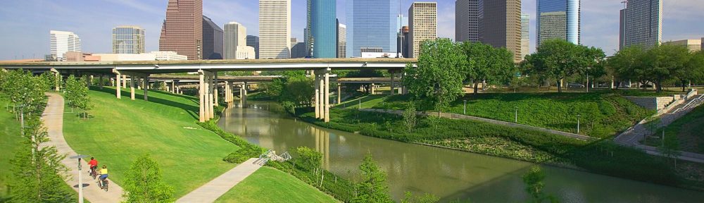
Here’s a picture of downtown Houston during the flood:

Photograph credit: Harris County Flood Control District.
In the coming weeks I’ll post more thoughts about the claim that engineers “caused” the flooding in December of 1935. For now I just want to focus on the rainfall.
When I first saw the rainfall totals for the 2016 Tax Day event, I thought they might be similar to the December 1935 event, but of course, being an engineer and a “data geek,” I had to check.
Here is a map of the rainfall totals inside the Buffalo and Whiteoak Bayou watersheds from December 6, 1935 to December 8, 1935:

Peak rainfall over three days was estimated to be 20 inches. The smallest rainfall in the watershed was estimated at around 5 or 6 inches over three days. The U.S. Army Corps of Engineers estimated that the average rainfall in the Buffalo and Whiteoak Bayou watersheds over the three day period was 15 and 12.7 inches respectively.
For comparison, each year Houston has a 1% chance of receiving 12 inches of rain in 24 hours; our average rainfall total is about 48 inches over an entire year; and most normal months we get about 4 inches of rain.
Here a map of the rainfall totals from the 2016 Tax Day event:

The red watershed boundary was copied over from the 1935 map and the watershed map with rain gauge totals was scaled to match.
The peak rainfall over three days was measured to be 17.6 inches at West Little York and Highway 6. The smallest rainfall in the watershed was measured at 0 inches over Cinco Ranch.
So I’d say these two rain events were pretty similar. What do you think?